Loading...

Write us

Congratulations

You belong to a group of teachers who want students to know the answers to more challenging geography questions (“Why?” questions).

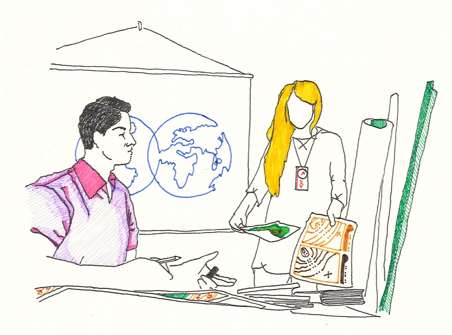
You enjoy solving geographical problems that pupils have to deal with. In your classes, students often work as real geographers. You create opportunities to work with text and other information sources, students independently collect data and then analyze it and draw conclusions.

Show more

Your teaching often leads students to recognize and discover the interactions between people and the environment, or you deal with the causes and effects of geographical phenomena.

In addition to doing geographical research with your pupils, you are also interested in studying more general geographical topics, including in the teaching of regional geography. You and the pupils also spend more time studying selected places or regions in more detail, even at the cost of not having time to discuss other places or regions.

Example:

When information about a volcanic eruption appears in the media, you can immediately prepare a lesson about the processes that lead to the emergence of volcanic activity. In geography lessons, pupils deepen their knowledge of how volcanoes are formed and, above all, what are the consequences of volcanic activity for people’s lives and the surrounding environment . Using examples of specific places affected by volcanic activity, students demonstrate the relationships between the natural and social components of the landscape . In addition, students explain the pros and cons of living in places affected or threatened by volcanic activity. Pupils have the opportunity to think about it, why people live in the immediate vicinity of volcanoes, why, for example, there are fertile soils around volcanoes, how volcanoes can be used in terms of tourism and how people deal with the various consequences of volcanic activity on a local and global level. 

Show less
Teachers focus on scientific reasoning and making connections

Assessment ?

To verify the pupils’ results, we use tasks in which the pupils can demonstrate developed skills.

The evaluation is based on the following criteria:

Show more

  • geographical in content: correctness of the terms used, accuracy, attention to detail (carefulness), knowledge of the scale and properties of maps, reading contours, deriving the curvature of the Earth, determining map elements, points and marks, sorting map materials and map resources, accurate orientation in map materials and parts, 
  • competence:  expression of emotions, presentation of created map works, map processing

For formative feedback, we recommend asking questions based on the evaluation criteria for each of the topics:

Is representational accuracy important or not?

Why don’t you have it marked exactly?

Why are your contours like that?

Why do I want you to be precise?

Do you know why, do you sort your maps?

Show less

Teacher:

    • Orientation of teaching on working with a map
    • Works with an atlas (paper or electronic) in almost every lesson
    • The map not only as a source of information, but also as an output

Show more

Map-lover teachers enable students to develop higher levels of map skills – moving beyond map reading to map interpretation and creation. The lessons of map-lover teachers almost always include work with an atlas, teachers also use digital maps. Teachers use multiple atlases at the same time (e.g. from different publishers) in both paper and electronic (fast, fresh) form. For map-lovers, opportunities to create maps can also often be observed. Teachers develop students’ love for maps and awareness of the added value of maps for learning and thinking. The map is understood as a source of information as well as a prized output. Teachers make full use of the potential of maps in tests and other ways of evaluating students.

Show less

Student:

    • Emphasis on building map skills
    • Map as a specific language of expression
    • Creation of maps, including digital ones

Show more

Pupils have a large number of maps and map sketches in their notebooks or portfolios, they are often involved in the creation of maps. Based on the creation of maps and subsequent work with one’s own maps, it is possible to see and demonstrate the variability and impermanence of places and space as well as their development.

Show less

Teacher:

    • The danger of mechanically redrawing maps from an atlas or textbook
    • A blank map is not a map-lover, you need to work with maps at a higher level
    • Emphasis on teaching cartography takes a back seat to geographical content

Show more

Some teachers tend to overestimate this conception and others underestimate it. With map-lovers, there is a risk that the teacher thinks he is developing the students’ map skills while only testing the students on blank maps. In addition, some map-loving teachers tend to slip into very low cognitive demands when creating maps. Pupils often create their own maps, however, the creation is based on mechanical rewriting or redrawing of the facts contained in the atlas into their own map (pupils only “paint”). Maps are often static, without showing relationships, connections and processes. Another risk lies in sticking to cartographic principles without their ongoing application and connection with real geographic content. An example can be perfect land-use maps created by pupils, which are not used further in geography lessons. To a lesser extent, it is also possible to observe a separation of cartography from general and regional geography among some teachers. The teacher reduces geography to map representations and the doctrine of the representation of phenomena and processes on maps. Qualified map-lover teachers realize that a map is an ideal tool for developing students’ higher thinking operations and map skills.

Show less

Student:

    • Overwhelmed with maps
    • The danger of boredom – when it comes to just mechanically redrawing maps
    • Absence of geographic thinking if the student only deals with maps or technical skills in GIS

Show more

In some cases, map-lovers do not systematically develop pupils’ map skills (interpretation or creation of maps), and thus pupils often get stuck in the initial stage of developing map skills (e.g. they just redraw maps from a textbook into a notebook). For example, students most of the time assign the names of states, cities, rivers, mountain ranges, etc., to blank maps or create their own maps based on mechanical redrawing or coloring. For students, the creation of simple maps and sketches can be a welcome diversion but also a source of boredom, especially if the resulting map is not accompanied by other follow-up learning tasks that develop geographical thinking.

Show less

Benefits of registered users

Exclusive access to a database and community of engaged geography teachers.
Draw inspiration for other conceptions.
Conveniently browse topics and think about your own teaching.
Know the connections between conceptions.
Experience GEOWHEEL or have instructions on how to comprehensively grasp geography education.
Archiving test results to monitor the development of one's own teacher identity.
Invitations to events with members of the project team and special events.
Access to the archive of worksheets for pupils and other teaching materials.
Detailed results with commentary and practical recommendations.
... Well, the students will simply love you, because they will enjoy your teaching!